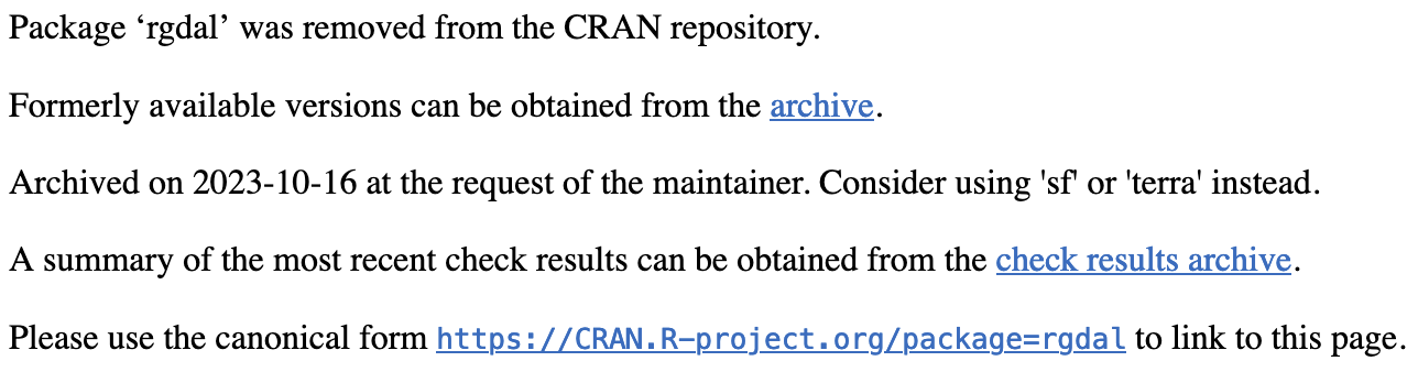
 The day I have been warning students and collaborators of has finally come. rgdal has been archived. Why? The maintainer, Roger Bivand, has retired, and no one else will maintain it to keep it working smoothly as computing continues to evolve. You can read more about that here.
What does this mean? If you did not have the time, resources, know-how, etc to make the switch from rgdal, raster, and sp to terra, stars, sf, etc. sooner, there's no reason to panic. As long as you don't need to update anything, your raster and rgdal code will probably still work for a while, but it will be increasingly difficult to maintain. You will also not be able to submit any new R packages that depend on rgdal, etc. Additionally, if you teach using R for spatial data or have students that do spatial analysis as part of their research, it's time to update course materials. I'm right there with you. I teach spatial analysis at a number of different levels of expertise and detail, and I am working on updating the material from which I pull to generate course content when I have a little time to spare. The best resource I've found for distilling the differences between raster and terra especially is here. In honor of the archiving of rgdal, and with the hope that maybe it saves at least a few people a few minutes of headaches, I present to you a freshly-updated introduction to some very basic GIS in R. Ta da! |
AuthorBiodiversity. Biogeography. Archives
October 2023
Categories
All
|
| Hannah L. Owens | What's Going On? |
 RSS Feed
Universitetsparken 15, byg 3
2100 Copenhagen Ø, Denmark
hannah.owens(at)SUND.ku.dk
Copyright © 2015